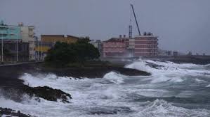
The tragic events affecting millions of people living in the path of Hurricane Harvey are being immediately reported and followed by scores of people around the planet. Harvey has been called a 500-year storm, carrying such force that there is in any given year less than a .002% chance of a storm of this power occurring.
The devastation is epic, and watching in real-time it is hard to imagine things getting worse. Although no estimates can be firm at this point, it is safe to say that bricks and mortar clean-up and reconstruction will take months, if not years, to complete.
Some of Harvey’s damage, however, is now more or less going sight unseen. It will, however, soon become all too obvious.
In the coming weeks and months, any who take a cruise through, or fly over, the Gulf of Mexico may see first-hand another awful bi-product from Harvey’s torrential downpours.
Perhaps even larger.
A discussion on whether this human-promoted environmental disaster could have at least been reduced in its magnitude is, at this point, idle chatter. This mess, unlike bricks and mortar destruction, cannot be repaired. It will not be halted.
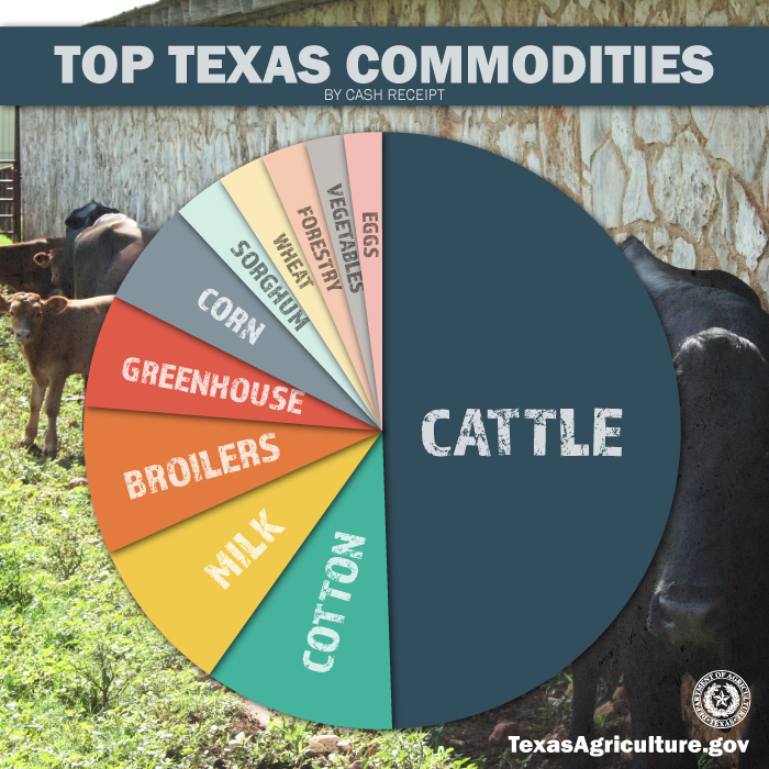
All this is 100% understandable – if not 100% preventable. It is about farm animals, and agriculture.
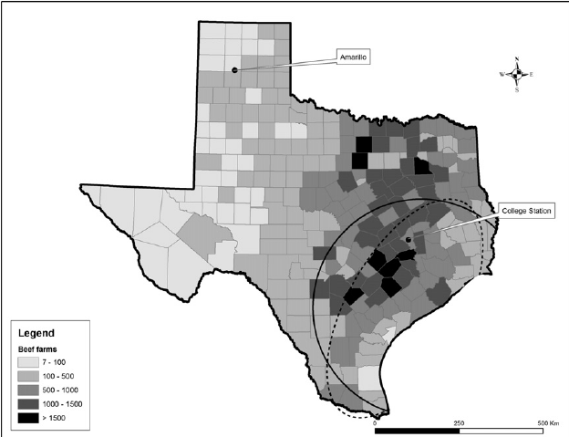
Lots of animals.
Lots of manure.
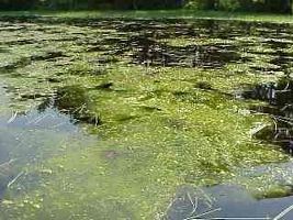
Lots of phosphorus.
Lots of Harmful Algae Blooms (HAB) creating lots of deadzones.
Hurricane Harvey has left a path of destruction that will take Texans years to repair. Sadly, for life in the Gulf of Mexico and for the many thousands people who make their living fishing the Gulf, or work in tourist trades that abound around the Gulf, the farm runoff damage this go-around cannot be undone. It will be massive, and irrevocable.
To the degree that farms provided insufficient grass buffers between waterways and cropped land, tilled marginally productive sloped acres, or — worst of all — poorly managed manure and fertilization levels, the environmental damage from Harvey will be proportionate to the negligence.
Fact: farms can always, within reason, do better managing land and manure.
The filthy aftermath of Hurricane Harvey will make that, in an obvious play on words, perfectly clear.